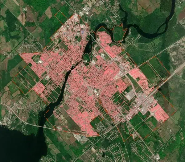
The Town of Carleton Place has rolled out an Interactive Mapping Program.
The initiative is being released by the municipality’s Development Services Department.
Residents can search properties, examine imagery mapping, measure property lines and learn about zoning designations for properties in the Town of Carleton Place.
A disclaimer posted to the site indicates it is the user’s obligation to independently verify the posted information and obtain the professional advice relevant to your query.
Failure to agree results in denial of access.
There are currently eight layers of mapping, and more may be added in the future.
Those with specific questions about the program should reach out to the Planning Department at planning@carletonplace.ca.
A link to the mapping is posted on our website.
https://carletonplace.maps.arcgis.com/…/index.html…